Our Courses
Our Popular Courses
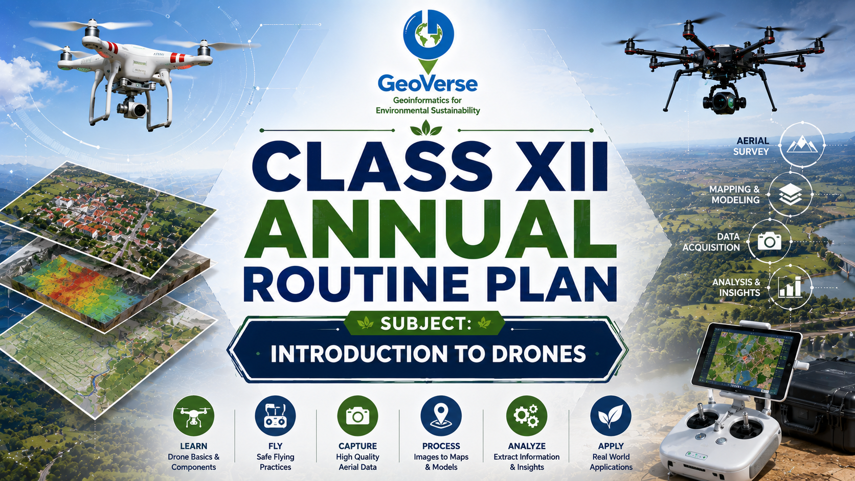
Class XII – Annual Routine Plan
Subject: Introduction to Drones Class Schedule 1 Theory Class per Week → 1 Hour 1 Practical Class per Week → 1 Hour Duration: 1 Academic Year (Approx. 40 Weeks)
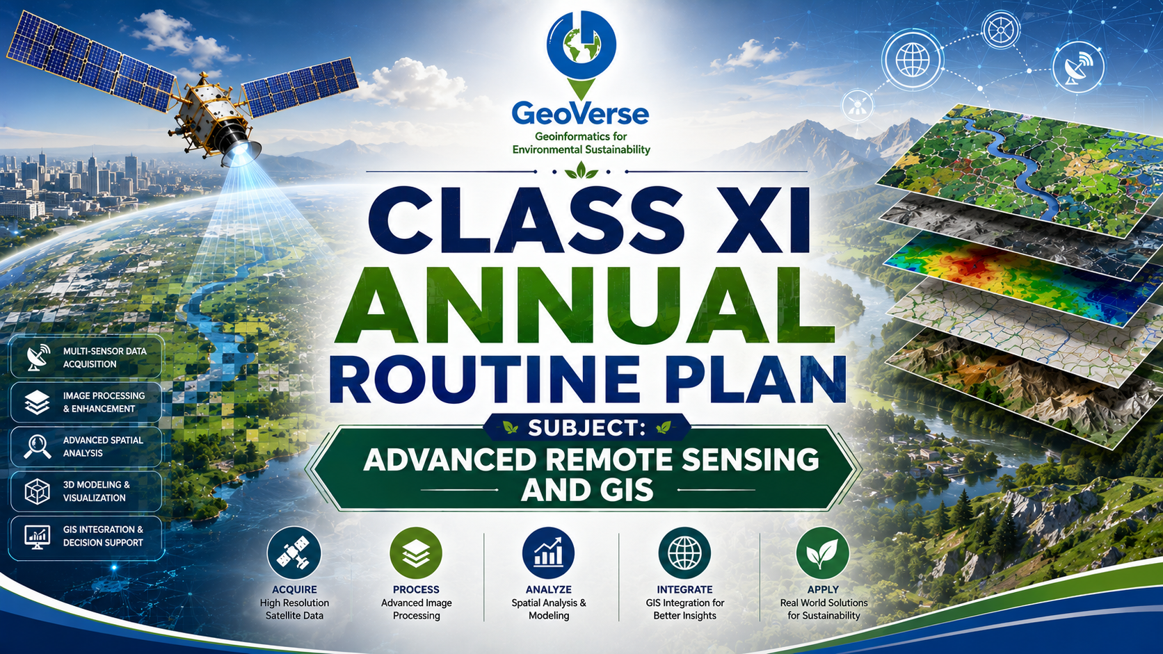
Class XI – Annual Routine Plan
Subject: Advanced Remote Sensing and GIS Class Schedule 1 Theory Class per Week → 1 Hour 1 Practical Class per Week → 1 Hour
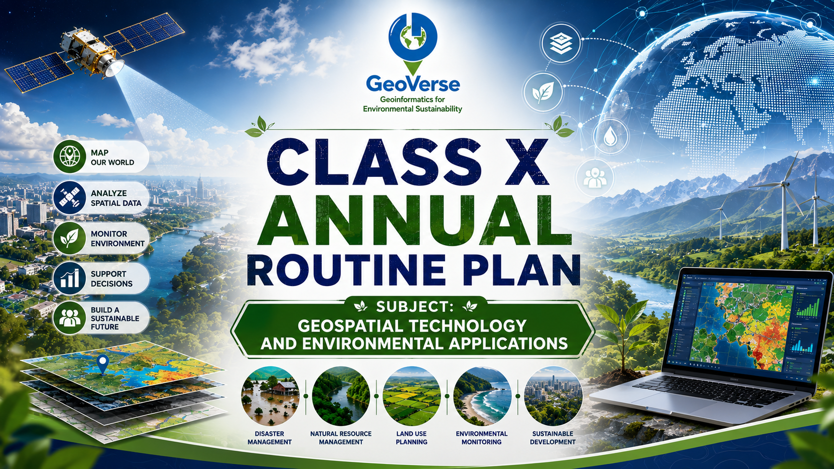
Class X – Annual Routine Plan
Subject: Geospatial Technology and Environmental Applications Class Schedule 1 Theory Class per Week → 1 Hour 1 Practical Class per Week → 1 Hour Duration: 1 Academic Year (Approx. 40 Weeks)
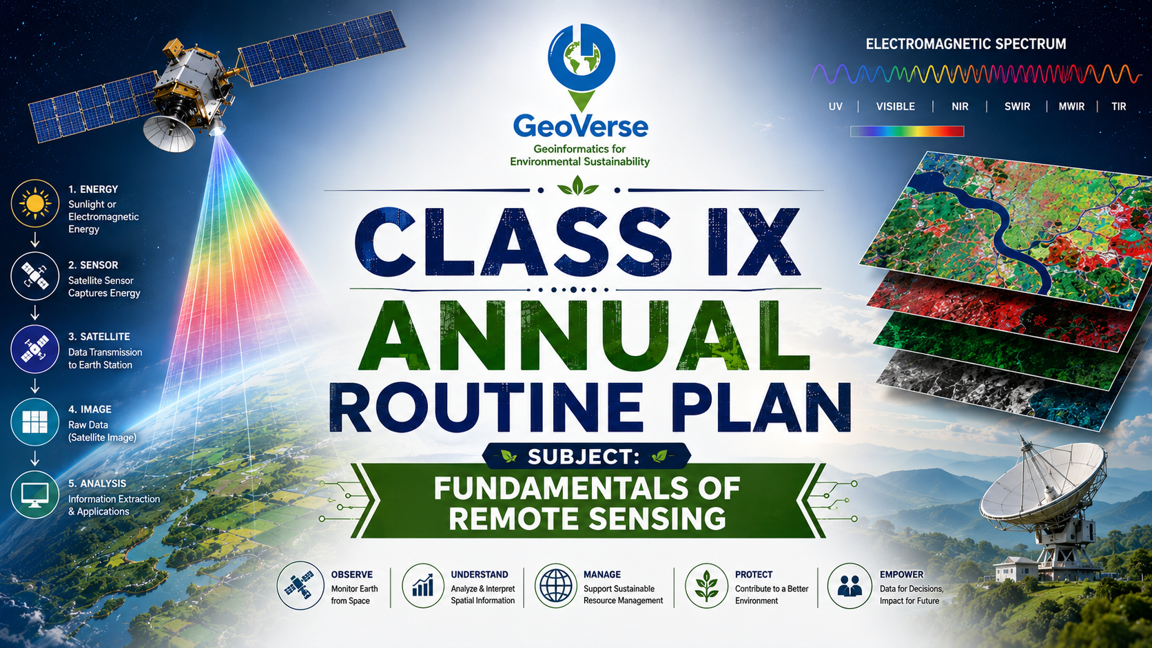
Class IX – Annual Routine Plan
Subject: Fundamentals of Remote Sensing Class Schedule 1 Theory Class per Week → 1 Hour 1 Practical Class per Week → 1 Hour Duration: 1 Academic Year (Approx. 40 Weeks)
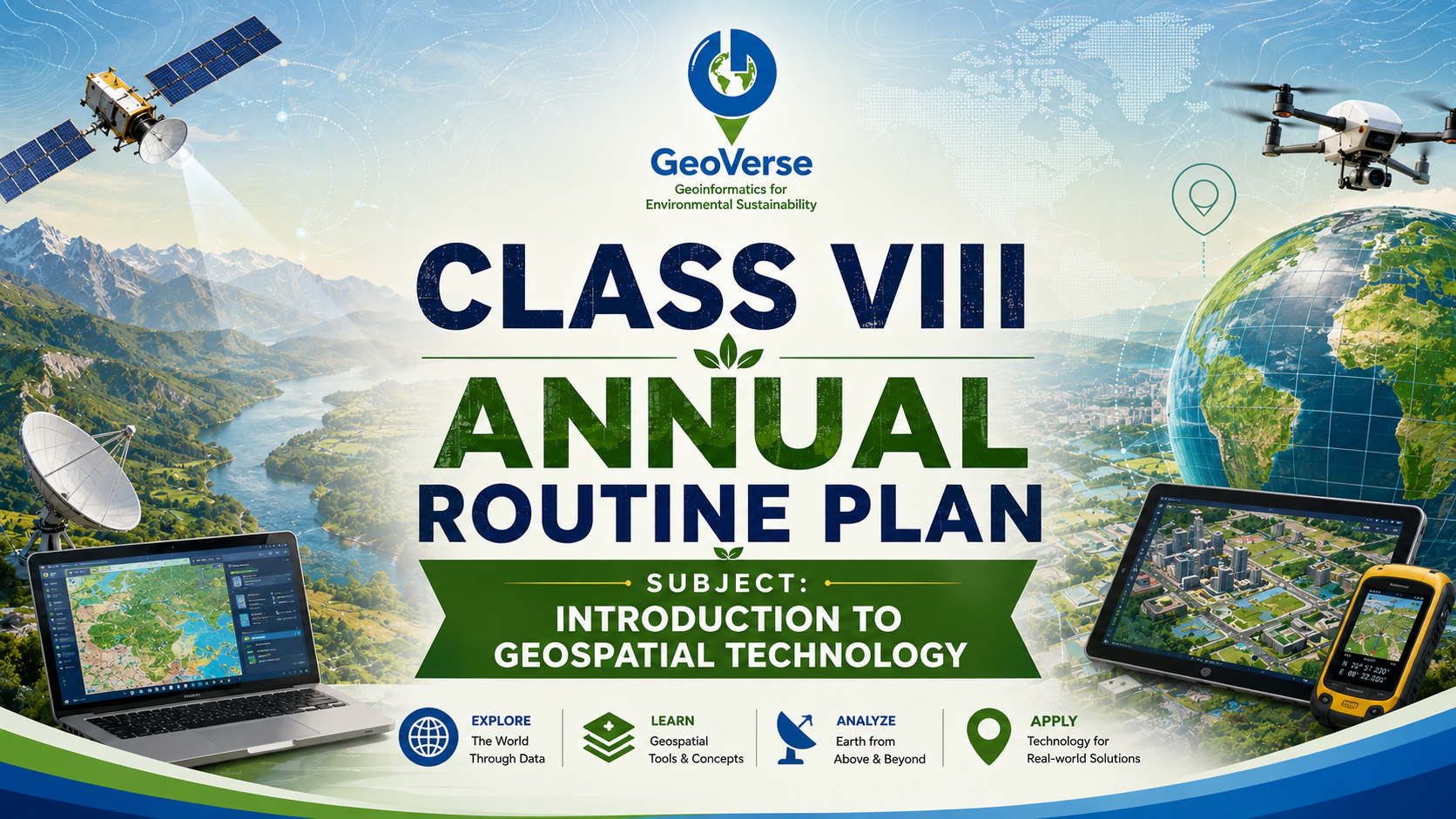
Class VIII – Annual Routine Plan
Subject: Introduction to Geospatial Technology Class Schedule 1 Theory Class per Week → 1 Hour 1 Practical Class per Week → 1 Hour Duration: 1 Academic Year (Approx. 40 Weeks)
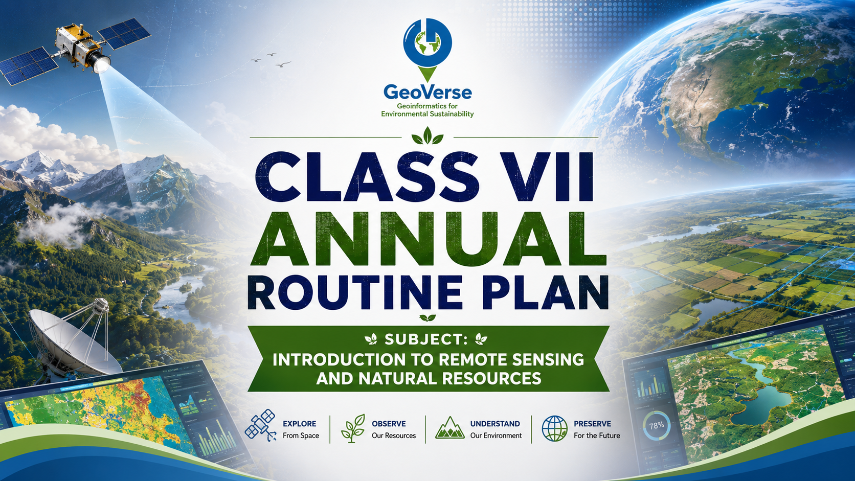
Class VII – Annual Routine Plan
Subject: Introduction to Remote Sensing and Natural Resources Class Schedule 1 Theory Class per Week → 1 Hour 1 Practical Class per Week → 1 Hour Duration: 1 Academic Year (Approx. 40 Weeks)
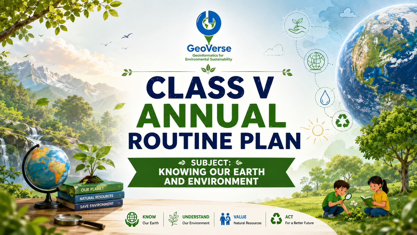
Class V – Annual Routine Plan
Subject: Knowing Our Earth and Environment Class Schedule 1 Theory Class per Week → 1 Hour 1 Practical Class per Week → 1 Hour Total: 2 Hours per Week Duration: 1 Academic Year (40 Weeks Approx.)
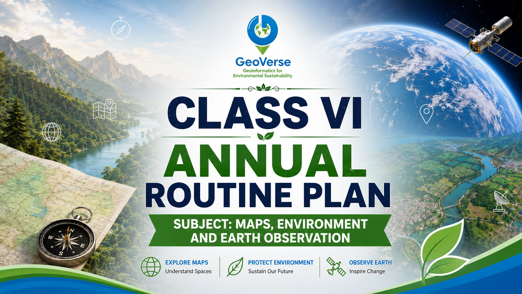
Class VI – Annual Routine Plan
Subject: Maps, Environment and Earth Observation Class Schedule 1 Theory Class per Week → 1 Hour 1 Practical Class per Week → 1 Hour Duration: 1 Academic Year (Approx. 40 Weeks)

Students at Geoverse get the opportunity to work on live projects associated with UBER
Students at Geoverse get the opportunity to work on live projects associated with UBER, gaining hands-on exposure to real-world geospatial data, field operations, and industry-grade workflows.
Live Projects
Work on real-world industry projects
Real-world Exposure
Hands-on experience with geospatial workflows
Industry Standards
Learn tools and processes used by industry leaders
Data Digitization
Structured digitization and map enhancement
Accuracy First
Delivering accurate geospatial data
Quality Process
Quality-driven workflows and processes
Geoverse supports TomTom
Geoverse supports TomTom in digitizing and map data enhancement, delivering accurate geospatial data through structured digitization workflows and quality-driven processes.


Geoverse works with RMSI
Geoverse works with RMSI to support utility mapping initiatives, delivering field surveys, ground truthing, and high-precision geospatial data for infrastructure and network mapping.
Utility Mapping
Support for utility and infrastructure mapping
Field Surveys
Field surveys and ground truthing
High Precision Data
High-precision geospatial data for better decision-making
Ready to Transform
Education?
Join GeoVerse and be part of a movement building a sustainable and skilled future.
Join GeoVerse and be part of a movement building a sustainable and skilled future.